Notice: This is one of the articles in the series of articles describing the chronology of my initiative to aim for a common and official workflow to edit existing X-Plane terrain meshes. A summary about the why and the how can be found in the most recent article.
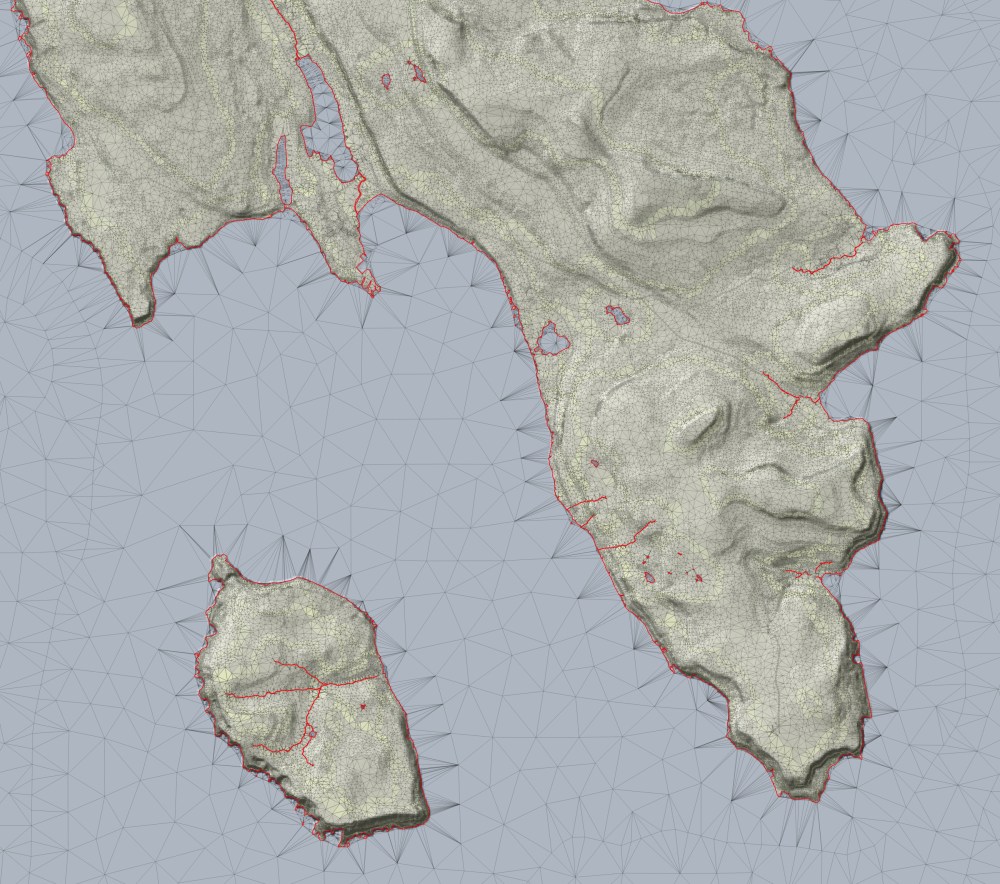
During the development of the tool to edit existing X-Plane terrain meshes, I coded also an exporter for in DSF encoded triangular irregular networks. This exporter was initially meant for debugging purposes, but I develop it further and have now some kind of a DSF-to-GIS tool, which I would like to introduce briefly:
Input: Single DSF file or a directory of DSF files. The DSF does not have to be converted with Laminar Research’s DSFTool, like it’s needed with other tools. It also doesn’t mater if the DSF files are 7-zipped. If needed, DSF files get automatically uncompressed and then directly decoded, without the need of any additional tools.
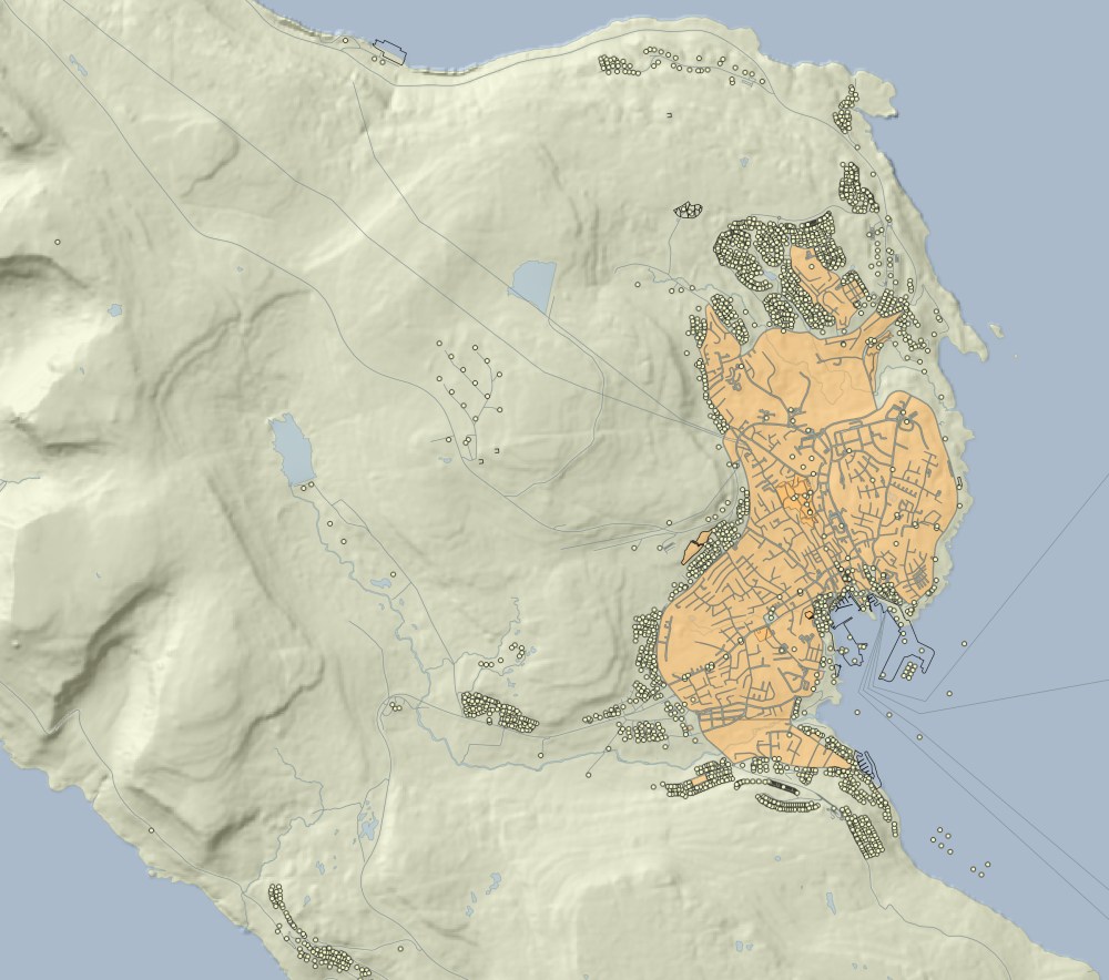
Output: The tool decodes the in a DSF encoded raster as well as vector data into GIS readable formats: Namely ESRI Shapefiles for vector data and GeoTIFF files for raster data. If desired, additional formats can be implemented as well. Depending on the structure of the in a DSF encoded data, Point, LineString or Polygon features get exported. In the case of a terrain mesh, not only the triangular irregular networks gets reconstructed, but also the encoded raster data decoded and a hillshading computed.
I’m currently thinking about, if that add-on to the tool to edit existing X-Plane meshes, makes also sense as a standalone application. Independently, I already have some ideas to extent the scope and functionality of this DSF-to-GIS exporter.
