What really annoys me when flying over Antarctica4XPlane, is the virtual horizon: I feel like, that the earth is flat! X-Plane would have a solution for that, but this solution is simply “not configured” for high latitudes. To make it short, a solution is in development, which will enhance your polar flight experience dramatically:
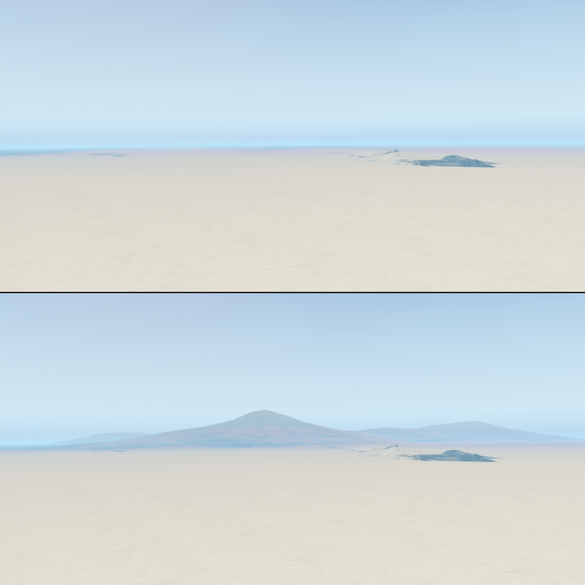
Some background information: The X-Plane landscape is tiled into 1×1 degree tiles. Such a tile has at the equator a width of about 111 km and at McMurdo Station, a X-Plane tile has a width of only 25 km. X-Plane loads 4*3 tiles and draws outside this area a low resolution mesh, encoded in the “Earth Orbit Textures”. Which results in a, more or less, nice virtual horizon. But these “Earth Orbit Textures” are missing for Antarctica. And on these I’m currently working on:
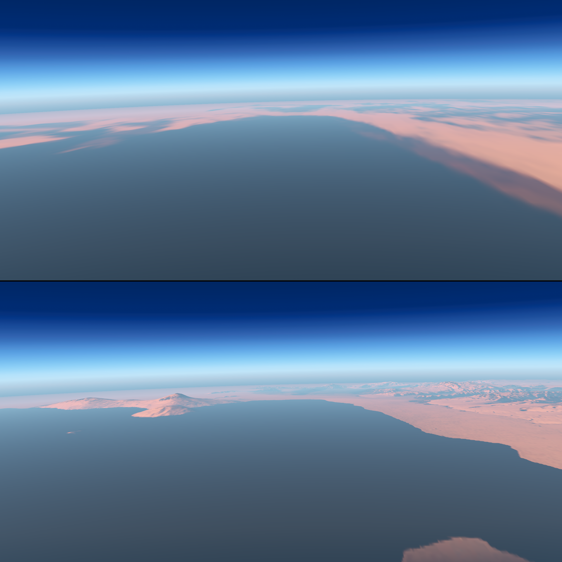
Great, isn’t it? Update: The result of my work is now available as an update of my Antarctic and Subantarctic Maps for X-Plane!
