Introduction
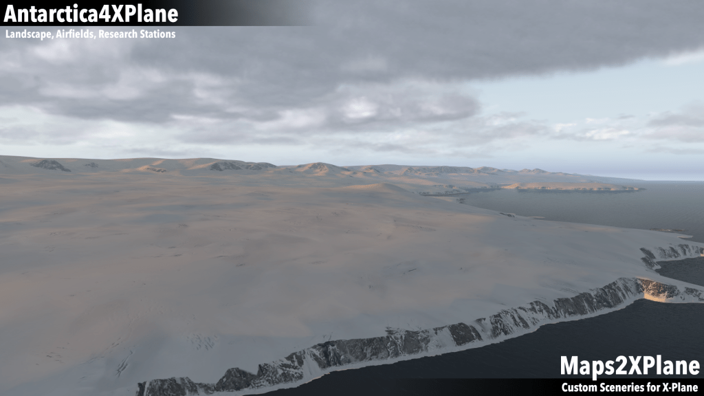
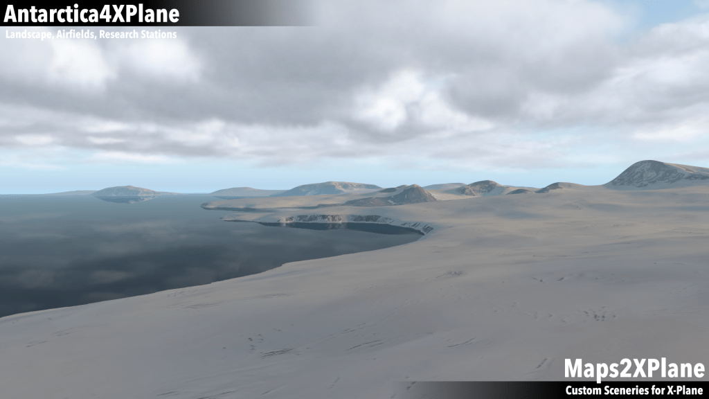
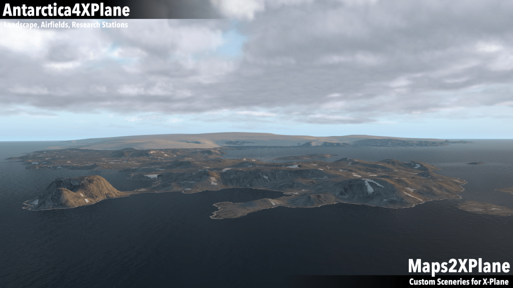
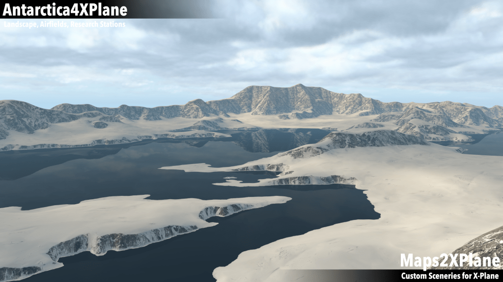
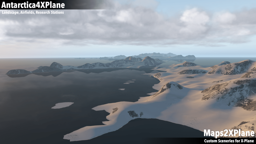
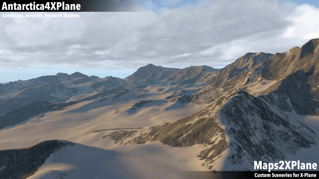
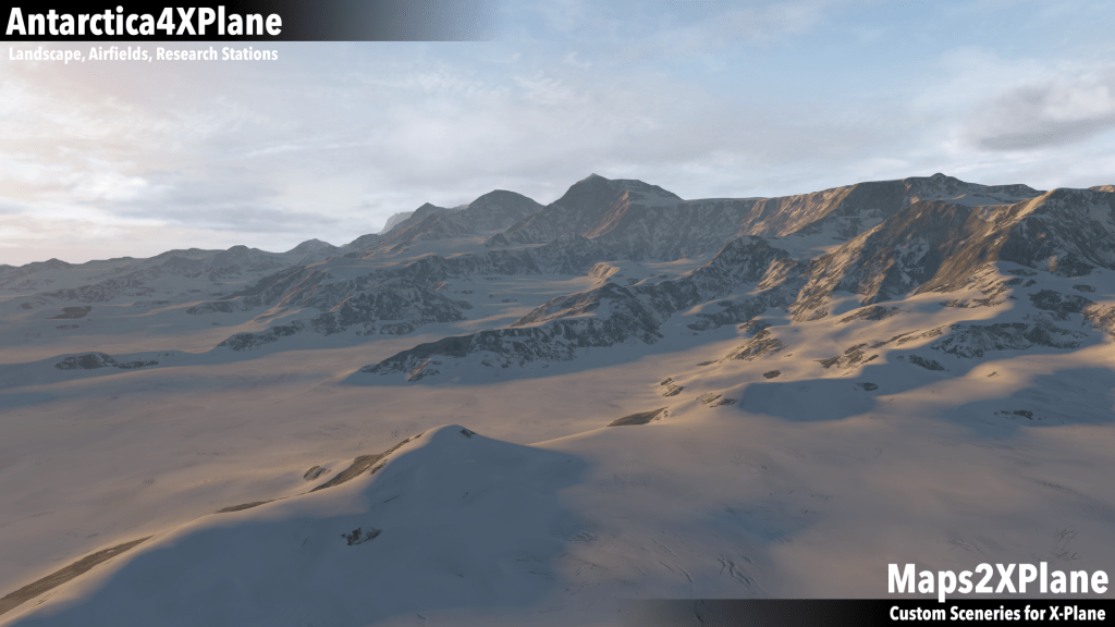
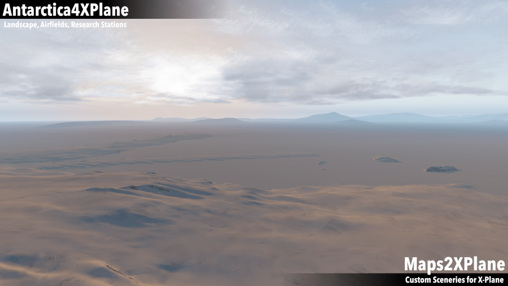
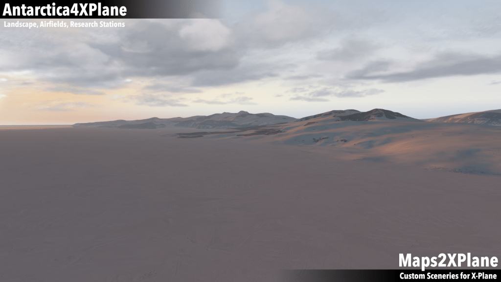
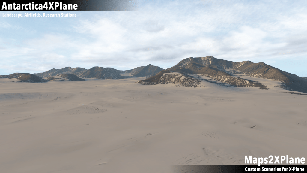
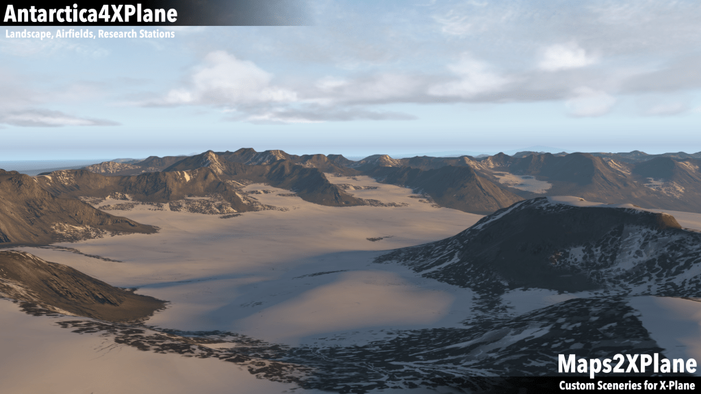
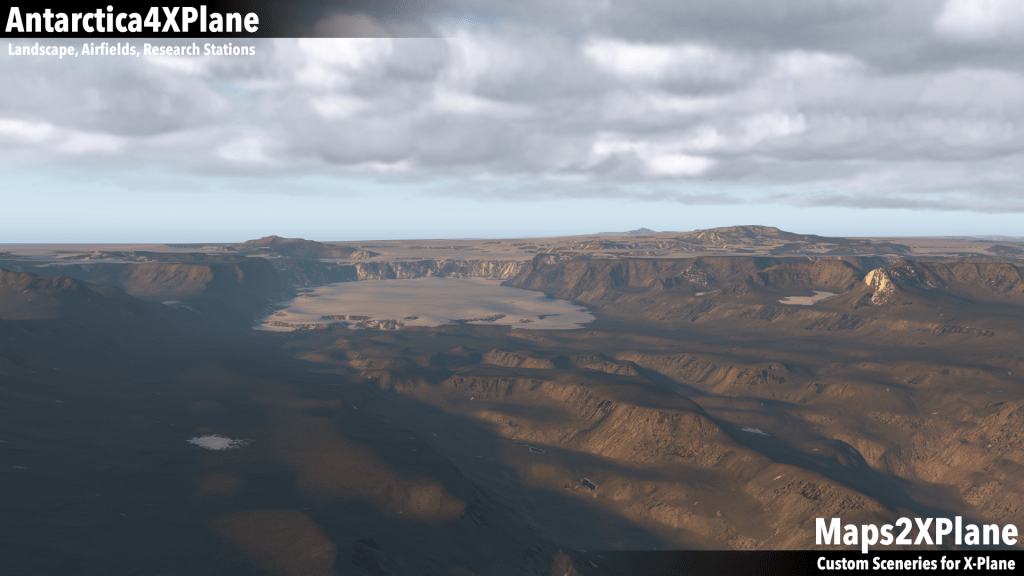
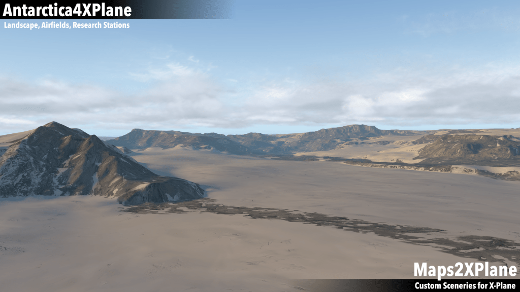
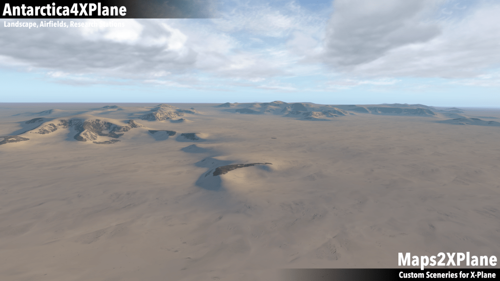
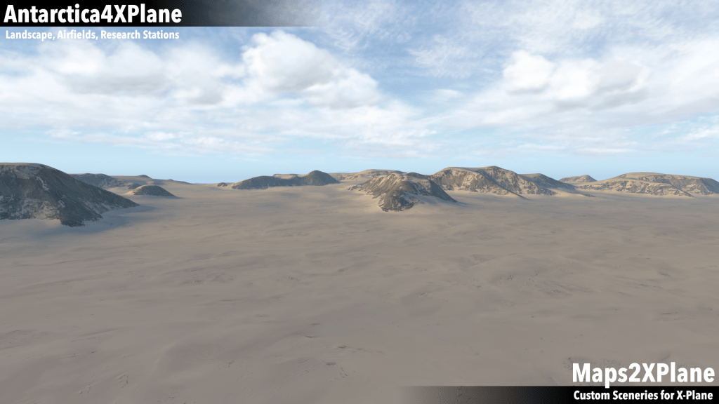
Antarctica is a continent completely missing in the default world of X-Plane. My Antarctica Terrain Meshes for X-Plane, which I developed under the brand Antarctica4XPlane, were inspired by my good friend Nino, who supported the project since its beginning in the year 2015 – until 2020, when he unfortunately passed away too early.
A brief history
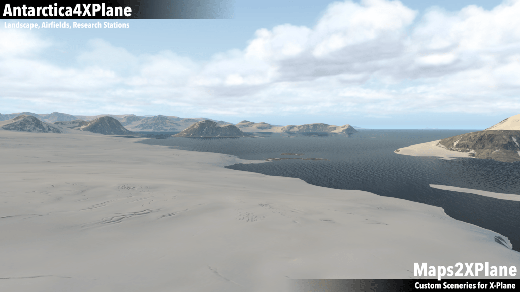
On 17th April 2015 Nino published the idea of a virtual Antarctica, searching for technical assistance. Inspired by Nino’s idea, I begun to develop first terrain models, e.g. for Deception Island. In parallel, Paolo and others begun to develop virtual research stations, base camps and airfields. In December 2015 I was able to release Part 1 of Antarctica4XPlane, covering the South Orkney Islands and the Antarctic Peninsula. Followed in June 2016 by the release of Part 2 of Antarctica4XPlane, covering Victoria Land and the northern parts of the Transantarctic Mountains. Since then, the scenery packages received annual updates and were complemented with new content. In January 2019, Part 3 of Antarctica4XPlane was released. This latest part covers Coats Land and the western parts of Queen Maud Land.
As a spin-off of Antarctica4XPlane, I extended the development to the Subantarctic. In January 2017, Marion and Prince Edward Island were released. Followed in May 2018 by the release of the second subantarctic scenery: Heard Island and McDonald Islands. Read more about this sub-projects in the Subantarctic Sceneries-section of my website.
South Orkney Islands and Antarctic Peninsula
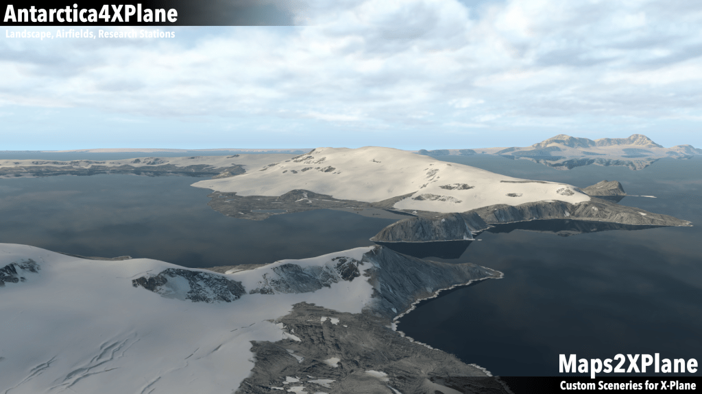
Part 1 of Antarctica4XPlane covers the South Orkney Islands and the Antarctic Peninsula down to -76 degrees. In addition to my terrain mesh I suggest to you my Signy Research Station and my Port Lockroy Base scenery.
Additional scenery packages by Paolo: Rothera Research Station, Matienzo Base, Marambio Base, Esperanza Base and Petrel Base, Admiralty Bay (featuring Comandante Ferraz Antarctic Station and Machu Picchu Scientific Base), Argentinian Bases (featuring Carlini Base, Orcadas Base and San Martín Base), Palmer Station, Base Bernardo O’Higgins, Deception Island (featuring Deception Station and Gabriel de Castilla Base) and King George Island (featuring Teniente R. Marsh Martin Airport, Villa Las Estrella, Base Presidente Eduardo Frei Montalva, Bellingshausen Station, Great Wall Station, Artigas Base, Risopatrón Base, Collins Base, Julio Ripamondi Base and King Sejong Station).
There are also two very nice scenery packages from Heinz: A skiway and a mobile weather station near the Rothera Research Station and an Expedition Scenery Package located on the Arrowsmith Peninsula. Last but not least, a history and geography lesson at its best: The Wilkins Airstrip on Deception Island by Walter in cooperation with Cami De Bellis.


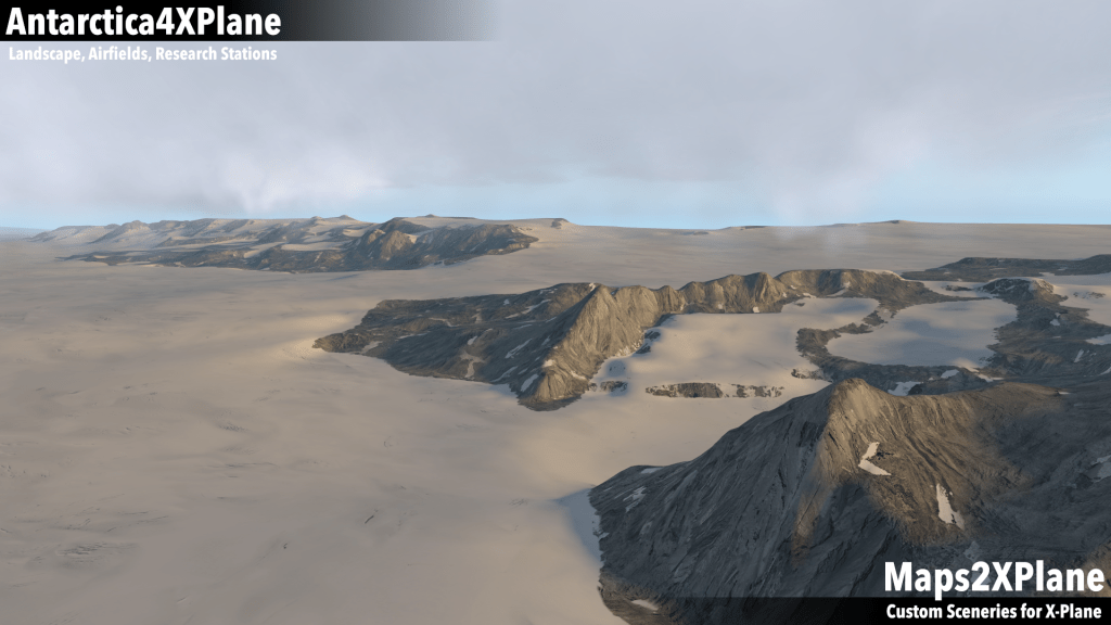
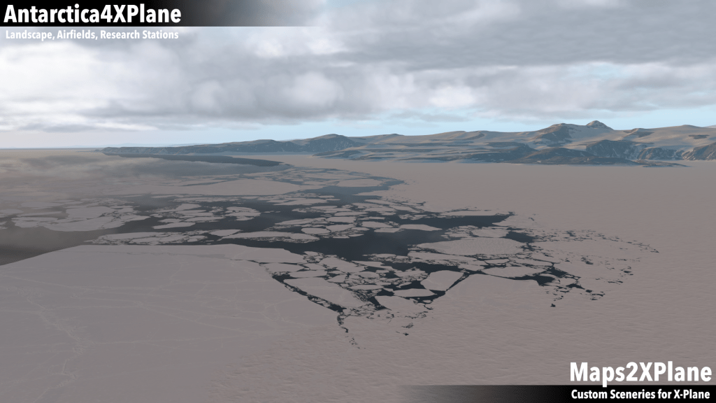
Victoria Land and Transantarctic Mountains

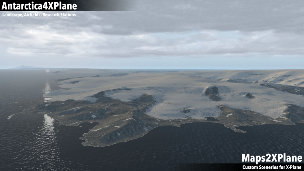
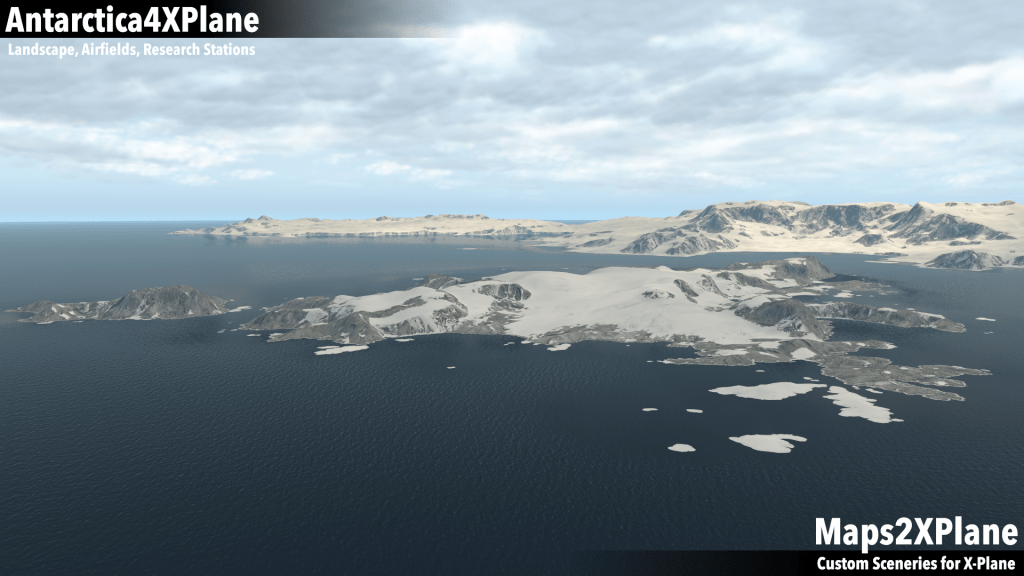
Part 2 of Antarctica4XPlane covers the Victoria Land and the northern parts of the Transantarctic Mountains down to -81 degrees.
As add-ons for this part of my terrain mesh I recommend the following sceneries from Paolo: McMurdo Sound (featuring Odell Glacier, McMurdo Station, Scott Base, Marble Point, Phoenix Airfield, Ice Runway, Pegasus Field, Williams Field and Cape Evans) and Terra Nova Bay (featuring Browning Pass, Enigma Lake, Zucchelli Station and Jang Bogo Station). Furthermore, the Terra Nova Bay area is complemented by Pedro’s semi-fictive rendition of the new Boulder Clay gravel runway near the Zucchelli Station.
Last but not least, there exist two Research Base Camp Sceneries from Mark: Trough Lake Camp and the Lower Wright Glacier Hut, both located in the McMurdo Dry Valleys.


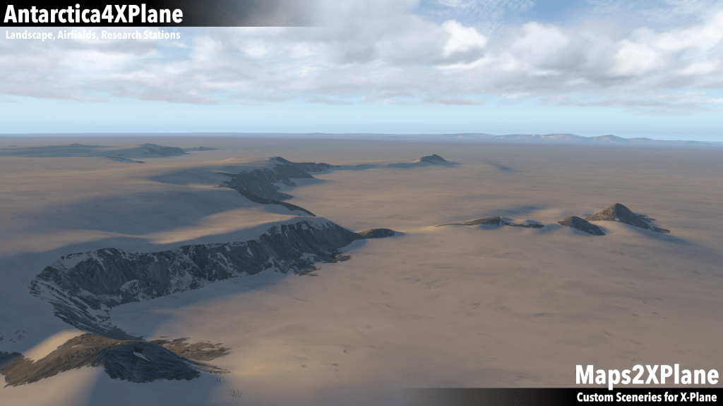
Coats Land and Queen Maud Land

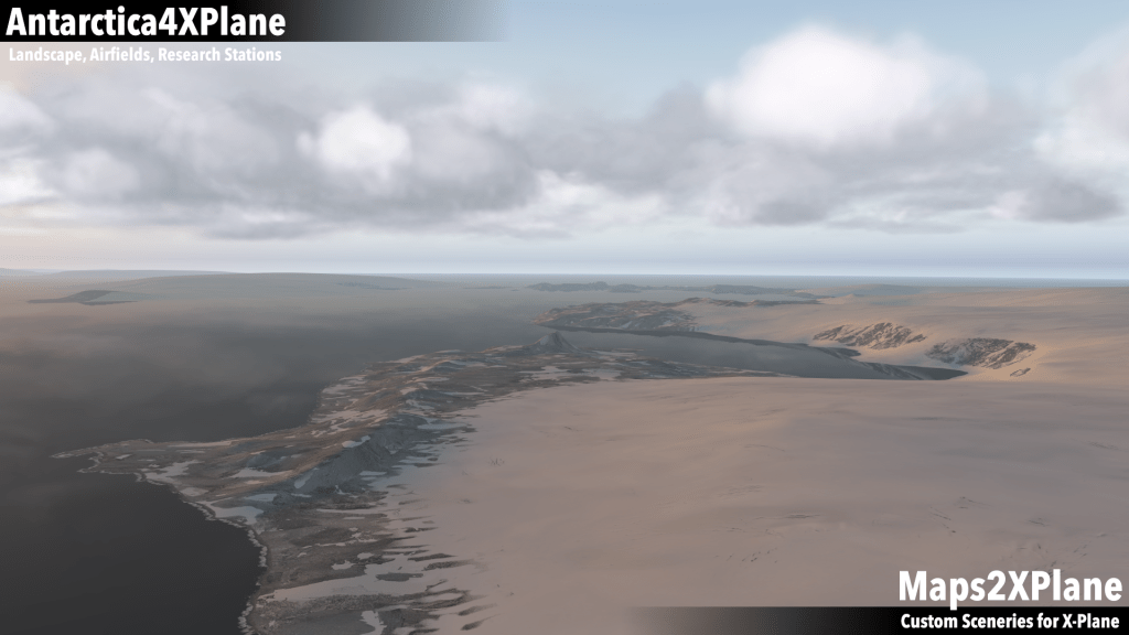
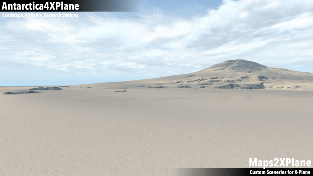
Part 3 of Antarctica4XPlane covers the Coats Land and the western parts of Queen Maud Land down to -81 degrees.
Currently there are no custom add-ons available for this part of my Antarctica Terrain Mesh. However, I’m able to share with you a simple apt.dat that defines some skiways and helipads as starting points and destinations for your adventures in this interesting region of Antarctica (the apt.dat is also a good starting point for interested add-on developers; just drop me a message, if you’re interested in developing one of the airfields or even a complete research station):
Halley Research Station (EGAH), Belgrano II Base (SAYB), Neumayer-Station III (AT16), Drescher Ice Camp (DRE1), Aboa Research Station (ABA1), Wasa Research Station (WSA1), Svea Research Station (SVE1), Kohnen Station (AT12), SANAE IV Research Base (AT22), Troll Research Station (AT27) and Tor Research Station (TOR1).


Additional stuff
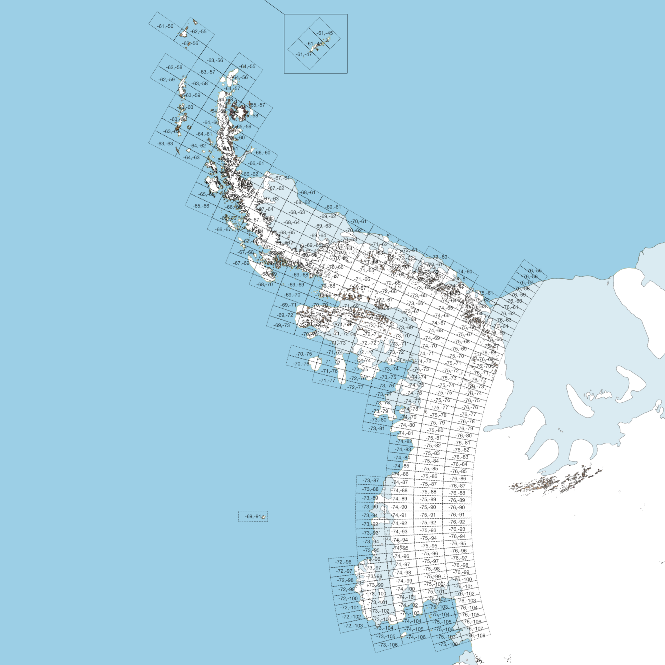
[X-Plane 11+] In addition to my Antarctic Terrain Mesh Sceneries, I recommend to use my Antarctic and Subantarctic Maps for X-Plane (because X-Plane’s default map doesn’t show any outlines for the Antarctic Continent).
[X-Plane 10+] In addition to my Terrain Mesh Sceneries, I recommend to use my Planet Map Replacement (because X-Plane’s default planet map doesn’t show the Antarctic Continent).
Concluding Remarks
My Antarctica4XPlane terrain mesh-sceneries and add-ons are available as freeware. However, modification, re-distribution or reverse-engineering without my permission is prohibited. The Antarctica4XPlane terrain-mesh-sceneries and add-ons are meant for personal use and are intended for flight simulation only. They shall not be used for real life navigation or any other real life purposes. Please contact me, if you’re interested in a usage in commercial applications.
