Svalbard4XPlane is a quite realistic representation of Svalbard for the flight simulator X-Plane. The Norwegian archipelago is located in the Arctic Ocean north of the Polar circle between 74. and 81. latitude and is not covered by the X-Plane default installation. So the scenery package Svalbard4XPlane does not only fill a gap in the X-Plane world, but also includes detailed airports and helipads.
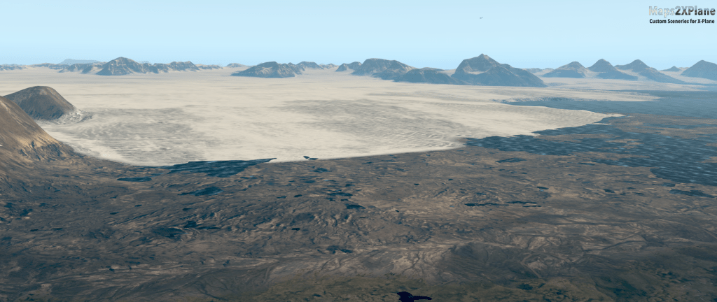
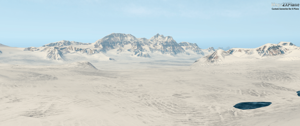
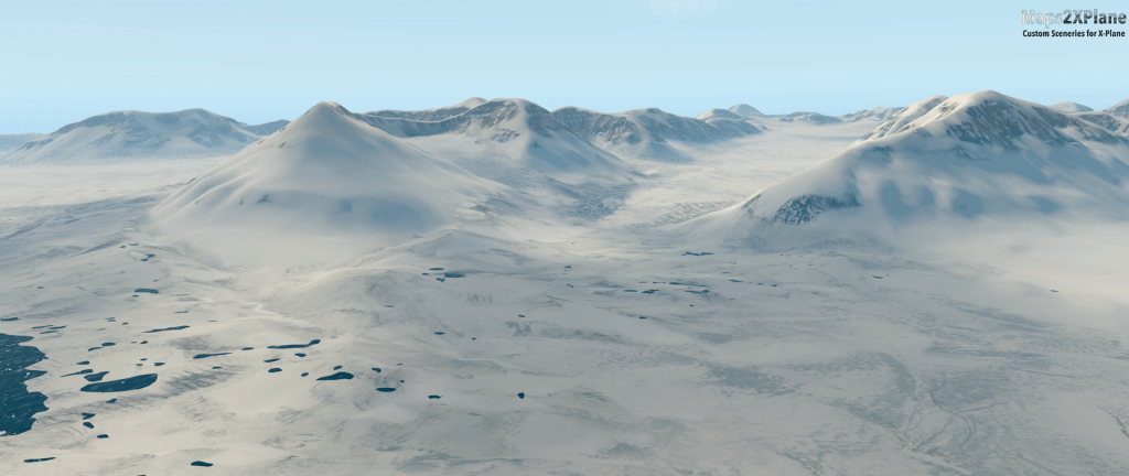
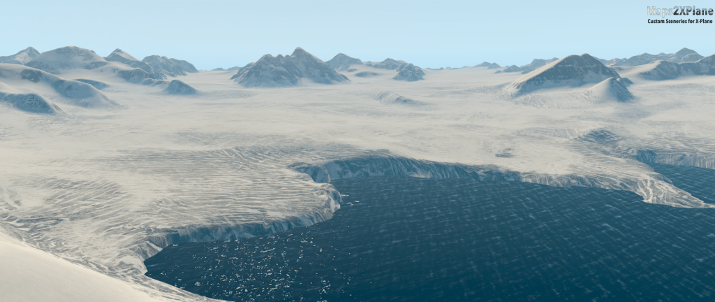
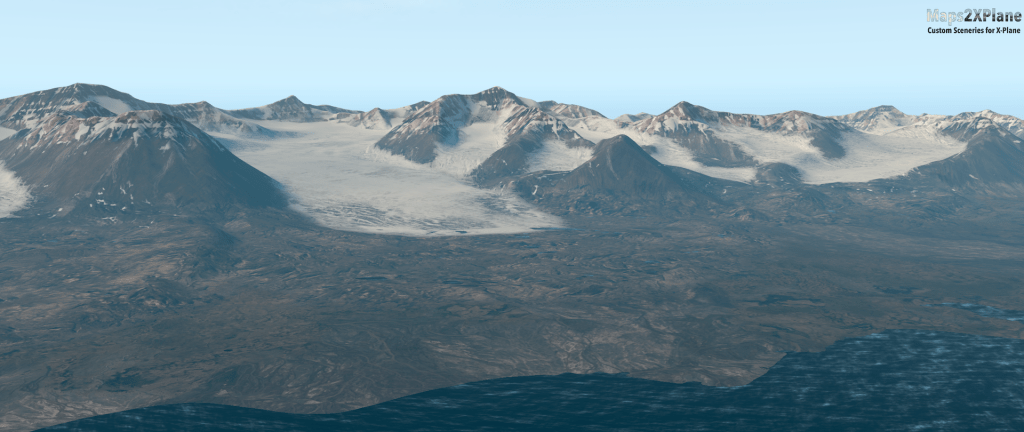
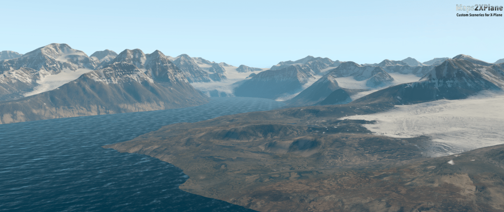
The key features of the Svalbard4XPlane Mesh are: Coverage of the complete Svalbard archipelago with an area of about 61.000 square kilometers. High resolution terrain model and detailed outlines like coastlines, glaciers and so on. Where required, manually modeled terrain details e.g. around airports. Generic, but photorealistic texturing for a summer and a winter-representation of the landscape.


These are just the key features of the mesh, developed by Maps2XPlane. More information about the airports and helipads, developed by my partner Stairport Sceneries, will be published soon.
Update: Out now! You can get Svalbard4XPlane scenery package from our publisher Aerosoft or the vendor of your choice – such as from X-Plane.org or Steam (XP11 and XP12).
