Skip to content

Maps2XPlane

Custom Sceneries for X-Plane

  • What’s new?
  • Featured!
  • The Sceneries!
  • From Third-party!
News

Antarctic and Subantarctic Maps for X-Plane

Posted by maps2xplane on 4. September 201720. September 2022
A4XP_Map_SAWB

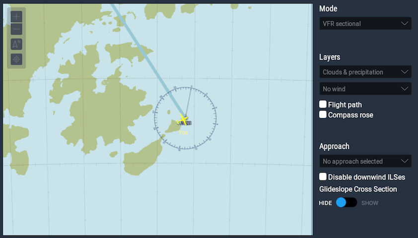
With version 11, X-Plane doesn’t show any outlines of the terrain in its default map for my Antarctica Terrain Mesh Sceneries. I solved this issue now by creating and releasing custom Antarctic and Subantarctic Maps for X-Plane.

AntarcticaMapsSubantarcticX-Plane

Post navigation

Previous Post Svalbard4XPlane is coming soon!
Next Post News about Svalbard4XPlane!

Airfield Canada Antarctica CDB Design Digital Elevation Model Faroe Islands FSDG Krabi Leeward Islands Maps Mesh Mesh Editing monoblau Saint Croix Scenery Seychelles ShortFinal Design Society Islands Stairport Sceneries Subantarctic Svalbard Windsock Simulations Windward Islands X-Plane Área77

  • What’s new?
  • Featured!
  • The Sceneries!
  • From Third-party!
  • Ways to contact?
  • Working together?
  • The Partners!
  • About Maps2XPlane
  • Privacy Statement
  • Legal Notice
  • Facebook…
Create a website or blog at WordPress.com
  • Subscribe Subscribed
    • Maps2XPlane
    • Join 38 other subscribers
    • Already have a WordPress.com account? Log in now.
    • Maps2XPlane
    • Subscribe Subscribed
    • Sign up
    • Log in
    • Copy shortlink
    • Report this content
    • View post in Reader
    • Manage subscriptions
    • Collapse this bar
 

    Privacy & Cookies: This site uses cookies. By continuing to use this website, you agree to their use.
    To find out more, including how to control cookies, see here: WordPress.com Cookie Policy