In the last few weeks I focused a new project that is somewhat different than the previous ones: This time, I do not develop a final X-Plane Mesh Scenery, but a source for you, to build your own (Photo-)Mesh: A HiRes Digital Elevation Mosaic out of more than a dozen sources (with a resolution of at least 10 meters). It is seamless and without any voids and has a grid spacing of 20 meters. It covers in the current version Italy, Austria and Slovenia.
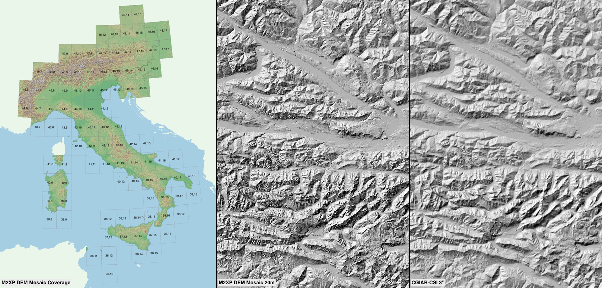
The project is motivated by the fact, that more and more regional HiRes Digital Terrain Models are available under an open data license, but there does not exist so far a single source (the collection and examination of the individual sources is arduous). Specifically, my DEM Mosaic is not just a simple overlap of different sources: I try to achieve an unrecognizable transition (blending) between the different sources. Besides the local HiRes sources, I compile other sources with good resolution into my DEM Mosaic (to fill gaps, where no local HiRes Elevation Models are available, and to fill 1×1 degree tiles where necessary).
Please consult the development and discussion thread for further details.
